Planning your Arizona adventure just got easier with the ultimate navigational companion. This detailed atlas transforms how you explore the Grand Canyon State, turning unfamiliar territories into exciting discoveries waiting to be made.
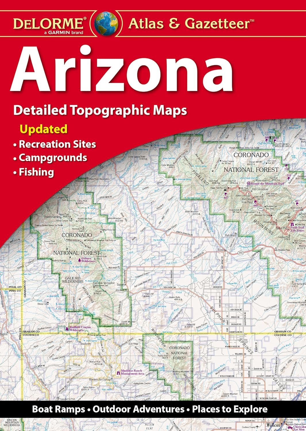
Inside these pages, you'll find full-color topographic maps that bring Arizona's diverse terrain to life. From the towering red rocks of Sedona to the vast deserts near Phoenix, every landscape is rendered with precision and clarity. The extensive indexing makes it simple to locate cities, towns, and even specific landmarks with just a quick glance.
What sets this atlas apart is its wealth of practical information beyond basic navigation. Find trailheads that lead to breathtaking overlooks, boat ramps perfect for a day on the lake, and prime fishing spots where the big ones bite. Historic markers and scenic drives are clearly marked, helping you experience Arizona like a local.
While GPS technology has its place, there's no substitute for having the entire state at your fingertips. Each map includes a handy latitude/longitude overlay grid, making it easy to coordinate with your GPS device. Inset maps for major cities and the Grand Canyon provide extra detail where you need it most.
Measuring 15.5" x 11", this atlas is designed for both practicality and durability. Take it with you on road trips, weekend camping excursions, or simply plan your next adventure from the comfort of home. Whether you're a seasoned outdoor enthusiast or just discovering Arizona's natural wonders, this atlas becomes your trusted guide to the state's most spectacular destinations.