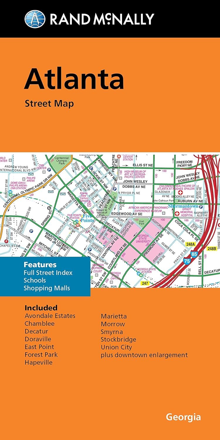
Discover the bustling city of Atlanta with the Rand McNally Folded Map, a reliable companion for navigating your way through the urban landscape. This meticulously crafted map captures all the essential Interstate, U.S., state, and county highways, granting you a comprehensive view of the city’s transportation network. Not only does it showcase the highways, but it also includes an abundance of detailed streets, ensuring you can find your destination swiftly, whether you are a local resident or a visitor.
The Rand McNally Folded Map stands out due to its user-friendly design. The easy-to-read legend simplifies the navigation process, allowing you to quickly locate points of interest, parks, and airports. The detailed index allows for fast reference to specific areas and locations within the vibrant city. If you’re planning an outing, a road trip, or just looking to explore all that Atlanta has to offer, this map is your go-to guide.
Rand McNally has established itself as a trusted name in cartography, and this folded map reflects that heritage. The high-quality print ensures durability, making it perfect for both online map enthusiasts as well as traditionalists who prefer a physical representation. With its compact size, it tucks easily into your backpack, car glove compartment, or even your pocket, ready for adventure at a moment’s notice.
Whether you’re seeking to navigate to a popular restaurant, find the best parks for a family outing, or discover hidden attractions around the city, the Rand McNally Folded Map is the perfect companion. Step into the streets of Atlanta confidently, knowing you have a reliable resource at your fingertips.