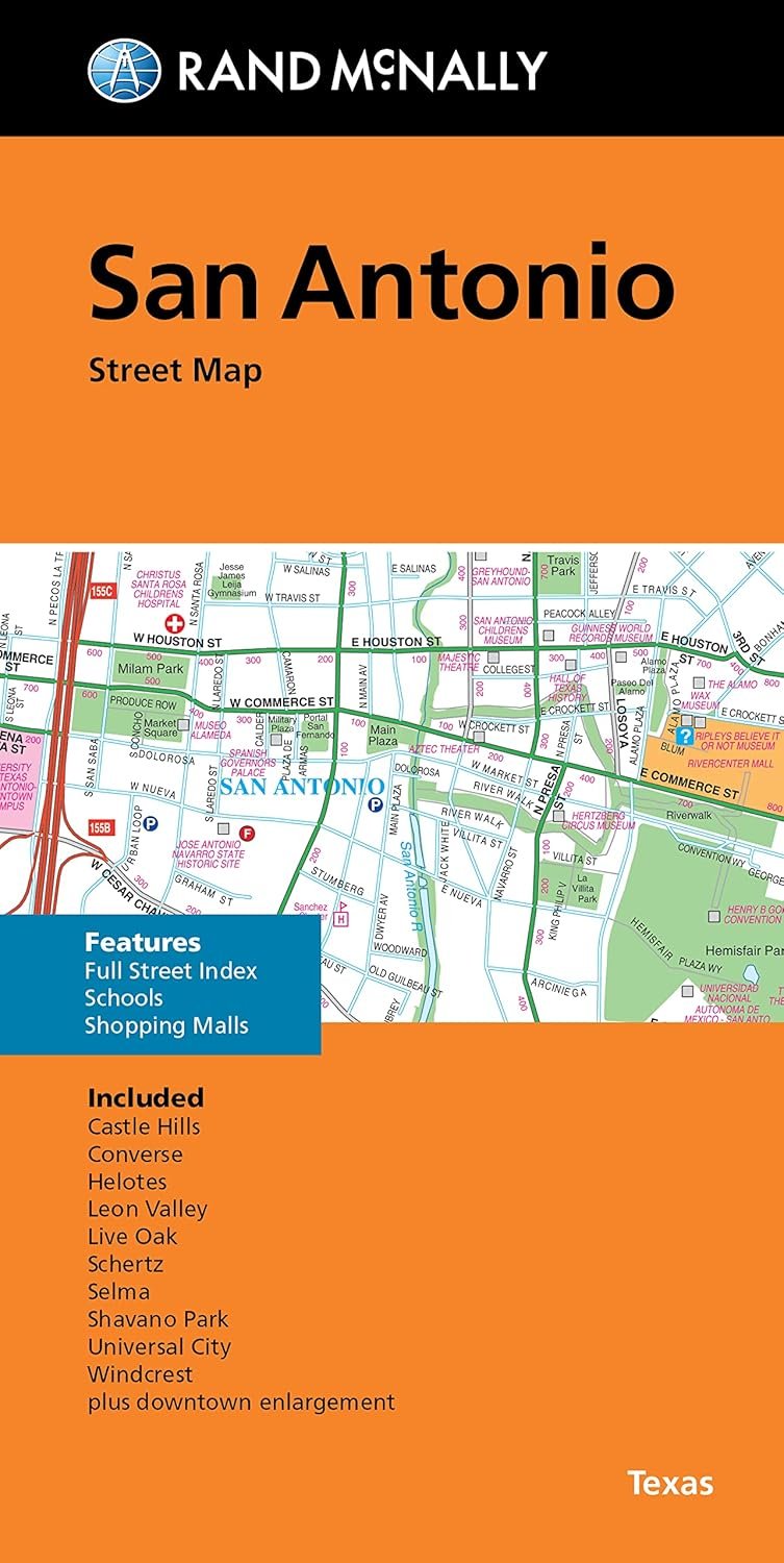
Traveling to San Antonio, Texas? Make sure you have Rand McNally's Folded Map: San Antonio Street Map in hand. This map stands out not just for its exceptional accuracy, but also for its reliability, which has made it a trusted companion for travelers over the years. Designed with clarity in mind, this folded map lets you navigate through all Interstate, U.S., state, and county highways with ease.
Each detail is meticulously rendered, showcasing parks, points of interest, airports, county boundaries, and street layout to aid your exploration. With full-color maps that are regularly updated, you won't find yourself lost amid the hustle and bustle of this dynamic city. The conveniently folded size, measuring 9.5 inches by 4 inches, expands to a generous 40 inches by 28 inches, providing a comprehensive view of San Antonio.
Discover the communities included in this map, such as Alamo Heights, Balcones Heights, and the bustling downtown area. Whether you're visiting for leisure or business, or simply exploring Texas, this map will keep you informed and on track.
Don’t miss out on the chance to explore all that San Antonio has to offer with the dependable assistance of Rand McNally. Get your map today and start planning your adventure!