Picture yourself cruising along winding roads flanked by lush green hills and ancient stone walls, the air crisp with the scent of heather. The Yorkshire Dales have that timeless pull—rugged peaks, cascading waterfalls, and cozy villages begging to be explored. But without the right guide, it's easy to miss the best paths or underestimate those sneaky steep climbs.
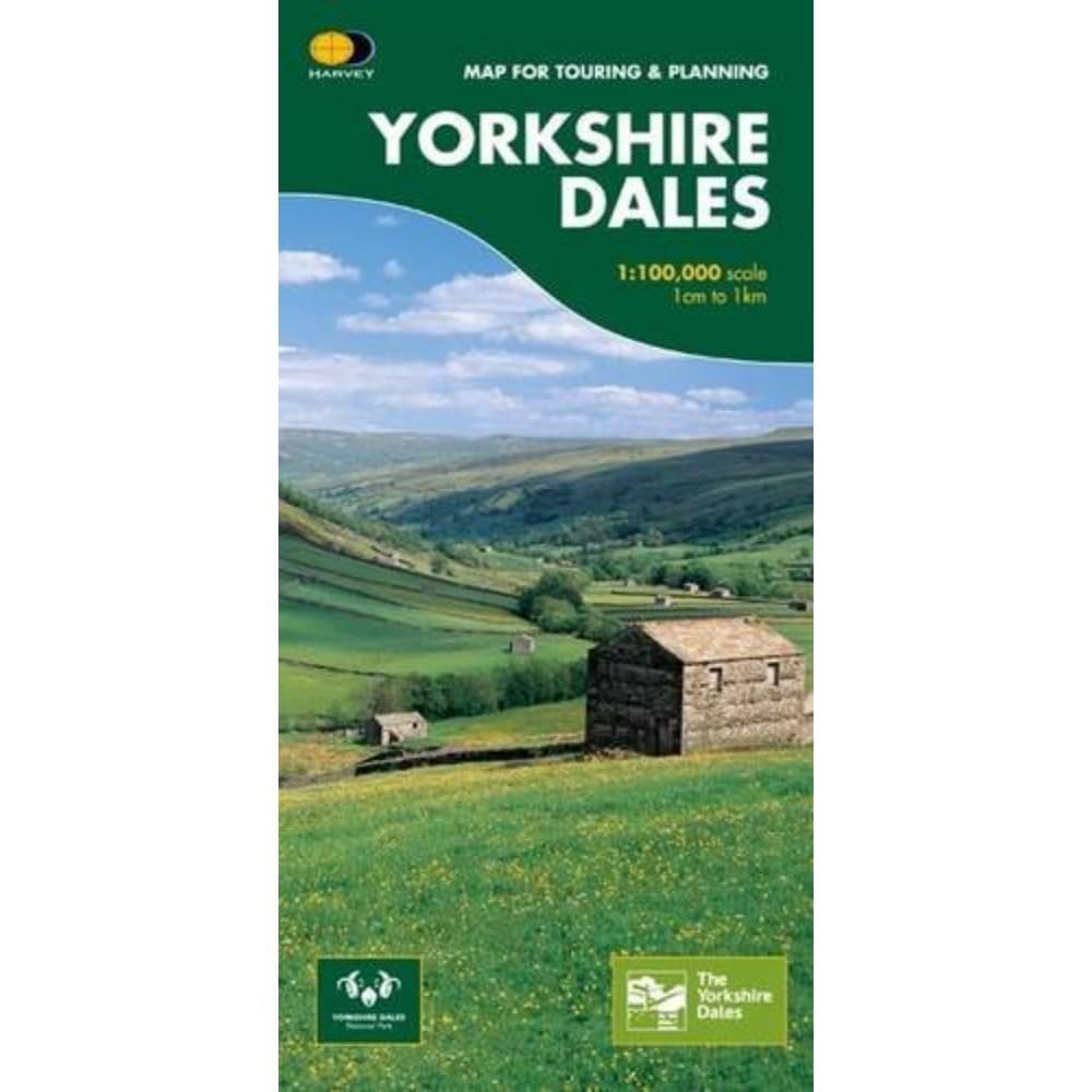
This folded Routemap is designed for anyone serious about touring and planning in the Dales. It delivers a vibrant, at-a-glance overview of the famous valleys: Swaledale's wild drama, Wensleydale's gentle charm, Wharfedale's lively trails, and Nidderdale's serene beauty. Color shading pops off the page, instantly distinguishing rolling hills from deep dales so you always know your bearings.
Driveable roads stand out boldly, with steep gradients flagged to keep your drives smooth and confident—no more white-knuckled surprises. You'll find thoughtful introductions to each area, highlighting what makes them special, from historic abbeys to scenic viewpoints.
Whether you're plotting a full-day drive from Yorkshire's edge or prepping for a hiking loop, this map turns vague ideas into concrete itineraries. Families love it for spotting ice cream stops in Wensleydale; cyclists use it to scout gentle gradients; history buffs trace old drovers' paths.
Unlike digital apps that drain your battery in remote spots, this tactile map works offline, rain or shine. It's been a staple since 2016, trusted by ramblers and road trippers alike. Feel the paper under your fingers as you trace routes, marking personal favorites with a pencil. Next time you're chasing sunsets over Ribblehead Viaduct or picnicking by Aysgarth Falls, this map ensures you arrive relaxed and ready to soak it all in.
Grab yours and let the Dales unfold—one twisty road at a time.